East Ilsley is unusual in that it was never formally enclosed and remnants of the old medieval strip field system persisted well into the mid 19th Century, with cattle grazing rights still in existence in the mid 20th Century. If you know where to look, there are still some remains of these systems visible in the landscape today, as well as traces of even older communities.
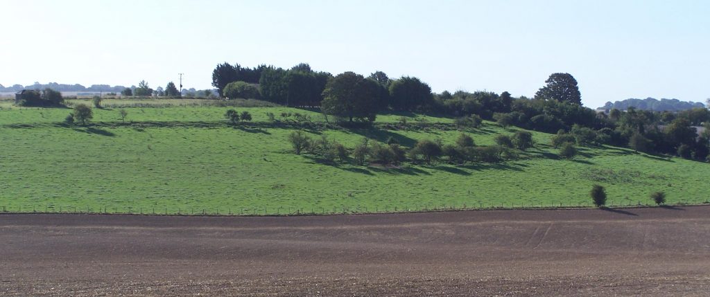
Only a few of the old strip fields are still visible in the landscape today. These alongside the West Ilsley road at Windmill Hill have only survived because they were originally glebe land and on a fairly steep hill, and so remained as pasture. The banks marking the edge of the strips are clearly visible as steps on the side of the hill.
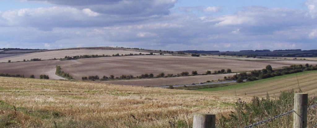
More usually, all that remains are ephemeral soil marks, visible just after ploughing. The darker soil stripes indicate old field boundaries. These can be tied in to the 1831 pre-tithe map, which shows many of the old strip fields still in use at that time.